Observe o mapa.
(IBGE. Atlas geográfico escolar. Rio de Janeiro, 2004.)
A superfície terrestre está representada segundo a projeção
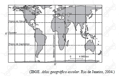
Observe o mapa.
(IBGE. Atlas geográfico escolar. Rio de Janeiro, 2004.)
A superfície terrestre está representada segundo a projeção